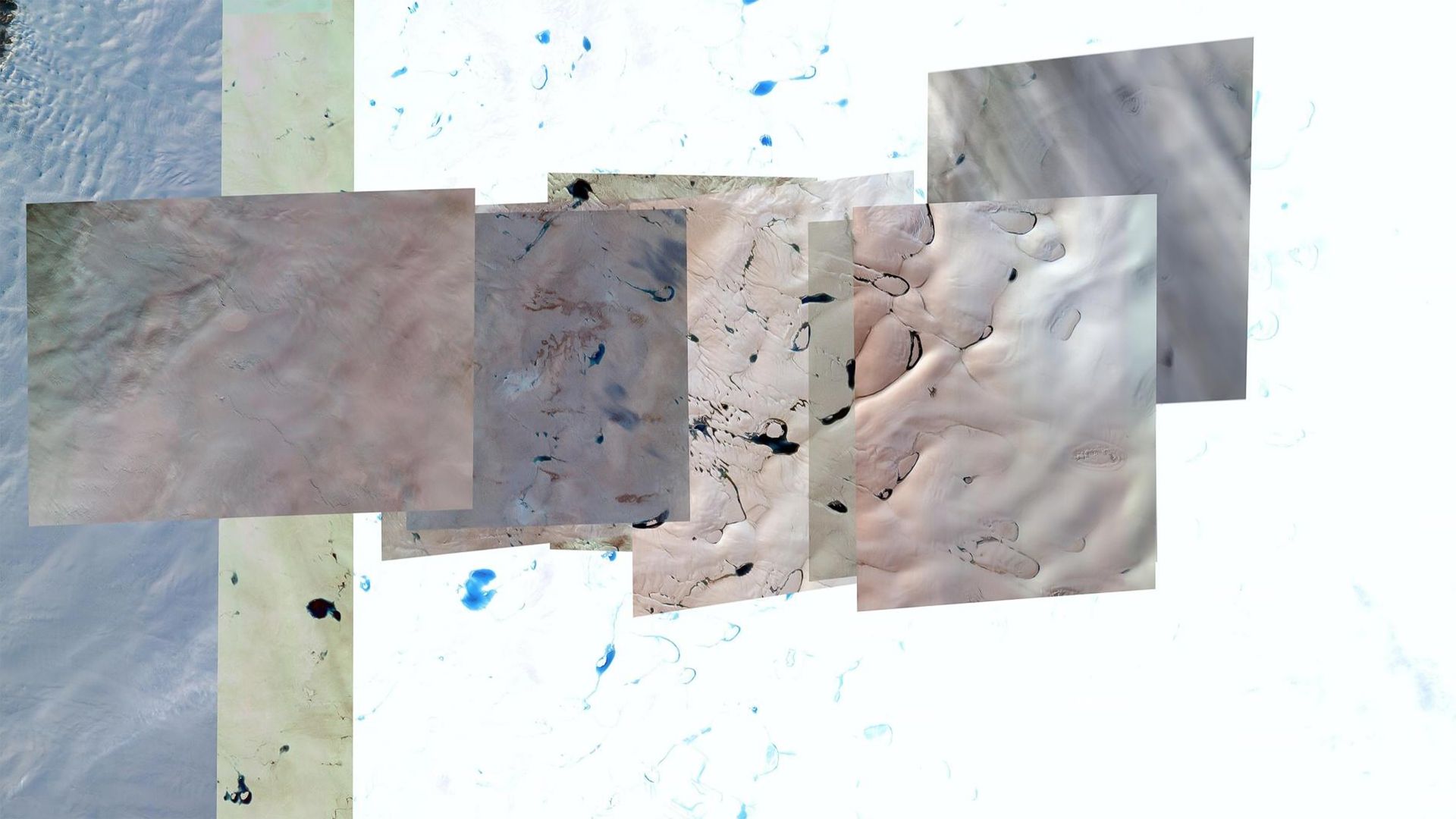
Aurelie Crisetig, (dis)locations (2020)

‘(dis)locations’ depicts the alteration of landscapes through digital topography. Each scenery represents a variation of time and space. Captured at different moments, every pattern of land is merged into a single image created by satellite renderings. The fragmented landscapes express the technological difficulties of precisely representing a location on Earth. These abstract sceneries found online describe a paralleled reality where seasons and time are combined and blend into each other, forming a dreamlike landscape. These transfigurations depict the unpredictable development of landscapes during our tumultuous times.